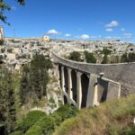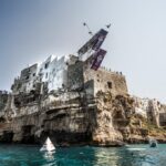
Between the Valle d’Itria and the Alta Murgia is the part of Puglia that rides best in winter: low hills, dry stone walls, trulli, villages a few kilometres apart. The original section of the Apulian Aqueduct Cycle Route runs through here — the first 22 kilometres between Cisternino, Ceglie Messapica and Martina Franca — and so does the Alta Murgia National Park cycle route, 67 kilometres in eight linked parts ending at Castel del Monte. Plus the Via Traiana, a Roman road you can ride.
The Puglia made of stone
Climbing inland from the coast, Puglia changes face: the low olive groves end and a plateau of pale stone begins, divided into thousands of plots by walls built by hand over centuries. This is the landscape of the Murgia and the Valle d’Itria, and for a rider it has two qualities that rarely come together: near-empty roads and villages close by.
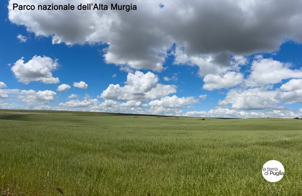
There are climbs, but they are long and gentle plateau climbs: you gain height without noticing. This is the area best suited to winter and the shoulder seasons, and the only one where a sixty-kilometre ride crosses five or six towns — Cisternino, Locorotondo, Martina Franca, Ceglie Messapica, Alberobello, Ostuni.
The original section of the Aqueduct route
The Apulian Aqueduct Cycle Route was born here, and here is still where it is best. There are 22 kilometres built with regional funding between Cisternino, Ceglie Messapica and Martina Franca, plus ten kilometres signed off running down towards Grottaglie.
The most recent segment opened in November 2024: eight kilometres along the main canal, from Pineta Ulmo to Monte Fellone, at a cost of €1.6 million. You ride on the aqueduct’s own service road — no cars, compact surface, trulli on both sides.
In the full route this area is covered by three stages, and the numbers say it is the easiest part of the whole thing: Castel del Monte – Cassano delle Murge, 64.4 km for a mere 265 metres of climbing, and Cassano – Figazzano, 79.3 km for 615 metres — the longest stage of all, but across a plateau that never tops 415 metres.
This is the best place in Puglia for a first ride on a proper cycle route. The distances are short, the surface is good, there is no traffic, and the towns to stop and eat in are all within ten kilometres of each other. Cisternino to Martina Franca and back fills a day without being an expedition.
The Alta Murgia cycle route: 67 kilometres to Castel del Monte
The Alta Murgia National Park has its own official route, coded C01AM and titled «Jazzo Rosso – San Magno – Castel del Monte». It measures about 67 kilometres, the surface is mixed — tarmac on quiet roads, drovers’ tracks, packed earth — and the difficulty the Park declares is hard.
It is not a single route but a system of eight linked itineraries, A to H, which can be combined or ridden separately. They suit a mountain bike; some parts take a touring bike as well.
- A — Ruvo di Puglia station – Tratturello Regio
- B — Tratturello Regio – Torre dei Guardiani visitor centre
- C — Torre dei Guardiani – Le Quite del Canale del Pidocchio
- D — Corato station – San Magno necropolis
- E — Tratturello Regio – San Magno necropolis
- F — San Magno Neviera chapel – Serra Cecibizzo
- G — Serra Cecibizzo – Castel del Monte
- H — Andria, church of Santa Lucia – Castel del Monte
Two of the eight start at a railway station, and that is no accident: route A starts at Ruvo di Puglia station, route D at Corato. Put that together with free bike carriage on Apulian regional trains and the Alta Murgia becomes a car-free proposition: arrive by train with the bike, ride, go back. In a region where almost everything assumes a car, that is rare enough to use.
To give a sense of what «hard» means here: route A, the one from Ruvo, measures 9.2 kilometres on the track and climbs from 232 to 353 metres — 137 metres of gain. Modest in absolute terms, but concentrated: you climb nearly the whole way, on mixed surfaces, and eight sections like it end to end make a day.
Bikes belonging to the Park can be hired any day of the week, but only for guided rides with an accredited guide inside the Park: it is not a self-service hire.
The Via Traiana: forty-five kilometres on a Roman road
This is the finest ride in the area and hardly anyone knows it. The Via Traiana is the road the emperor Trajan had built at the start of the second century to shorten the journey from Benevento to Brindisi, and the stretch between Monopoli and Ostuni can be ridden.
On the track it is 45.2 kilometres with 306 metres of climbing: effectively flat, with the only real ascent at the end, the one up into Ostuni — which sits at 231 metres, while you started at sea level. You pass whitewashed fortified farms, olive groves, carob and prickly pear, the Torre Canne coastal dunes park, and the lame, fossil rivers cut into the rock.
The Via Traiana profile: forty kilometres along the sea, then all at once the ramp up into Ostuni.
The point that makes the ride is at Egnazia, on the coast near Savelletri, where the best-preserved stretch of the whole Roman road survives. In the stone you can still see the ruts left by cartwheels: not a reconstruction, not an information board — the physical mark of two thousand years of wheels in the same place. It is the sort of thing you see from a bike and not from a car.
The other routes planned around here
The 2020 regional plan lists three that concern this area directly: the Costa Merlata–Locorotondo route, linking the sea to the Valle d’Itria; the Monopoli–Alberobello route, on the same principle; and the Bourbon route with its branches towards Altamura and Matera. These are projects: before planning a trip around them, check where they have got to.
The overall picture, with the other areas and the practical information, is on the cycling in Puglia page.