In short. Puglia is long and narrow — roughly 400 km from the Gargano to the tip of the Salento — and it does not feel the same at both ends. This page lays out how the region is organised, province by province and area by area, so you can work out where you actually want to go.
The single most useful thing to know before planning a trip to Puglia is that it is not a place you drive around in a day. The distances are real, and each end of the region has its own character.
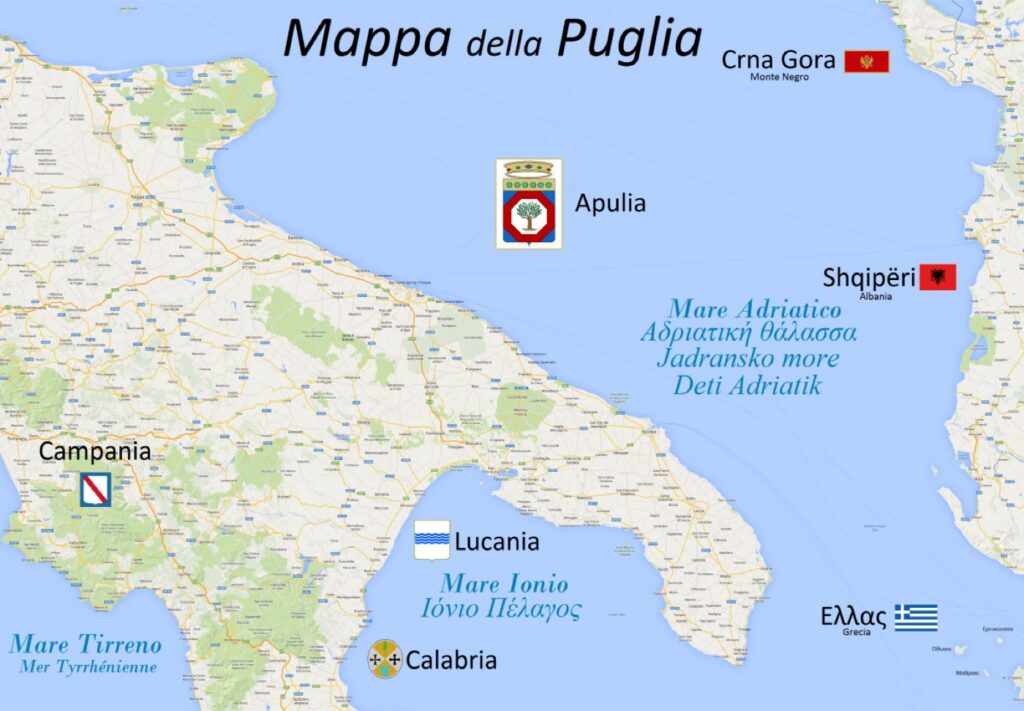
The areas of Puglia. The labels are in Italian because these are proper names and you will see them on road signs: Tavoliere delle Puglie is the great plain, Terra di Bari the central coast, Subappennino dauno the hills on the border with Campania, and Arco ionico tarantino the Ionian arc around Taranto.
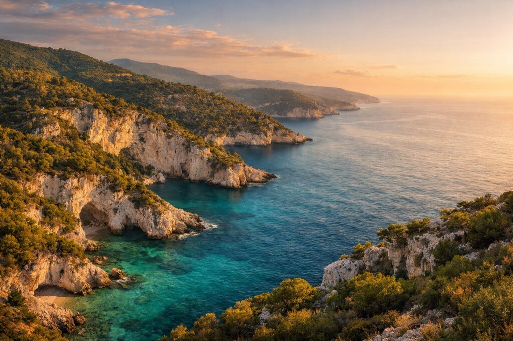
The provinces
- Foggia — the north: the Gargano promontory, the Tremiti islands, and the great plain of the Tavoliere
- Bari — the centre and the regional capital, with the Murgia hills behind it
- Brindisi — the Adriatic side, the historic gateway to the East
- Taranto — the Ionian side, on its two seas
- Lecce — the deep south, the heart of the Salento
The areas, which matter more than the provinces
Administrative borders tell you less here than the landscape does. Four areas are worth knowing by name:
The Gargano. The spur of the boot — limestone, forest and sea caves, rising straight out of the Adriatic. It holds the Foresta Umbra, the pilgrimage sites of Monte Sant’Angelo and San Giovanni Rotondo, and the Tremiti islands offshore. Nothing else in Puglia looks like it.
The Tavoliere. The plain behind the Gargano, long called the breadbasket of Italy. Flat, agricultural and hot — this is where much of the durum wheat comes from.
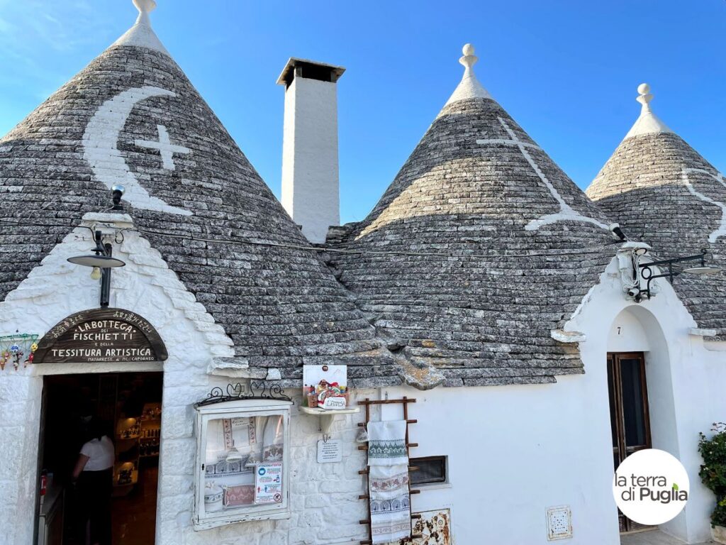
The Murgia. The stone plateau in the middle of the region, dry and pale, with the Valle d’Itria and the trulli of Alberobello on its southern edge. Inland Puglia at its most characteristic.
The Salento. The peninsula at the far south, held between the Adriatic and the Ionian. Olive groves, whitewashed towns, baroque Lecce, and a coastline that changes every few kilometres — cliffs on one side, long sandy beaches on the other.
Two seas, and they are different
Puglia has coast on both sides. The Adriatic, to the east, tends to be rockier, with cliffs and coves and deeper water close in. The Ionian, to the west and south, is shallower and sandier, and warms up earlier in the season. In the Salento the two are less than 50 km apart, which means you can pick your sea according to the wind on the day.
Getting around. There are two airports, Bari and Brindisi, and the train line runs down the Adriatic coast. Once you are here a car is close to essential: the towns worth seeing are small and the buses between them are infrequent.
For what the region is and where the name comes from, see Puglia or Apulia. For what to eat once you are here, the Apulian recipes.
And for the map turned into an itinerary — six areas, thirty towns, one page each — go to Visit Puglia. The practical side of arriving is in getting to Puglia.