In short. Puglia is long. It runs for around 400 kilometres, from the wooded promontory of the Gargano in the north down to Santa Maria di Leuca, where the Adriatic meets the Ionian. It does not feel the same at both ends, and no two of its areas are alike. This page divides the region into six, explains what each one is for, and sends you on to the towns worth stopping in.
Most people arrive in Puglia with one image in their head — white trulli, or a turquoise bay, or a baroque church front — and then discover that the place is far bigger and far more varied than the picture that brought them. The point of this page is to give you the map before you book anything.
How the region is laid out
Puglia is the heel of the Italian boot, and it is bounded by sea on two sides: the Adriatic to the east, the Ionian to the south and west. In between there is no mountain range to speak of — only the limestone plateau of the Murgia in the middle, the great plain of the Tavoliere in the north, and flat farmed country in the far south.
That geography explains the driving. There is no quick way from one end to the other, and the coast roads are slower than they look on a map. Pick two areas rather than six, and you will see more.
The six areas, north to south
The Gargano and the north
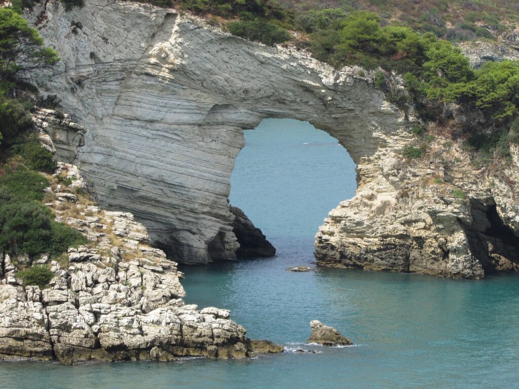
The spur of the boot: a limestone promontory of about 2,000 square kilometres pushing 70 kilometres out into the Adriatic, with more than 200 kilometres of coast — cliffs and hidden coves in the south, sandy beaches as you go north towards Rodi Garganico. Behind the coast is the Foresta Umbra, an ancient beech forest, and inland the coastal lakes of Lesina and Varano. Monte Calvo, the high point, reaches 1,056 metres.
It is also the most-visited pilgrimage country in the region: the sanctuary of St Michael the Archangel cut into the rock at Monte Sant’Angelo, and San Giovanni Rotondo, known worldwide for Padre Pio. Vieste and Peschici are the towns most people stay in; the Tremiti islands lie offshore. The Gargano, town by town →
Bari and the Adriatic coast
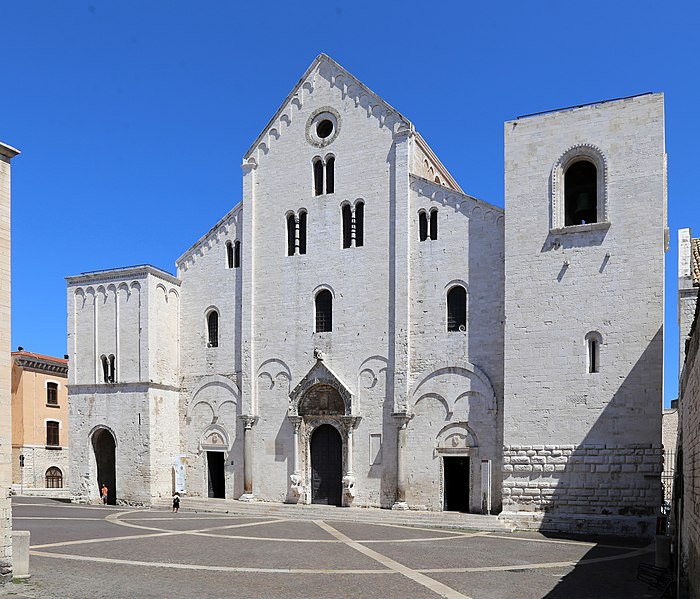
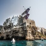
The busiest stretch of the region and the one with the main airport. Bari is a working port city with a knotted old town around the basilica of San Nicola. North of it the coast runs through Trani, whose Romanesque cathedral was built where the land stops and the sea begins, and Barletta, with the castle of Frederick II and the memory of the Challenge — the Disfida of 1503. South of Bari are the two towns most photographed on this coast: Polignano a Mare, built on a cliff over a cove, and Monopoli. The Adriatic coast, town by town →
The Valle d’Itria and the trulli
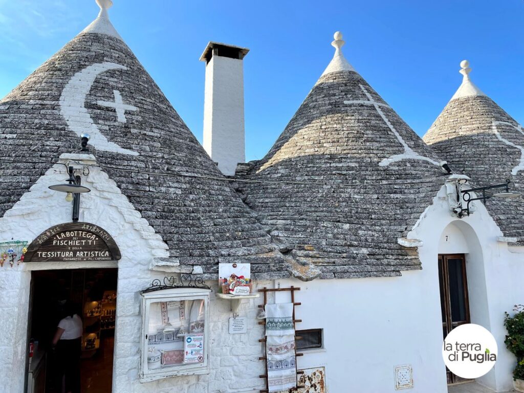
The southern edge of the Murgia plateau, and the part of Puglia that ends up on the postcards. Trulli — conical dry-stone houses built without mortar, by stacking rings of limestone slabs that close in on themselves — cover the valley, along with fortified farms and thousands of kilometres of dry stone wall. Alberobello has been a UNESCO World Heritage Site since 1996, and the craft of dry stone walling itself was recognised by UNESCO in 2018.
The other towns are the reason people stay: Locorotondo, Cisternino, Martina Franca and, on the ridge looking down to the sea, the white town of Ostuni. It is roughly 50 kilometres from Bari, and both airports are within an hour. The Valle d’Itria, town by town →
The Murgia and Castel del Monte
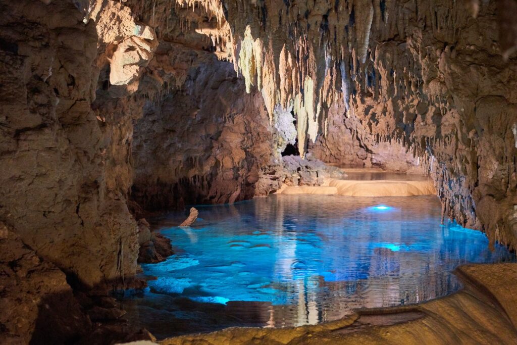
Inland, and almost nobody’s first stop — which is the argument for going. The Murgia is a karst plateau of bare, sharp limestone; the name is thought to come from the Latin murex, a pointed stone. Water has worked it from underneath, leaving sinkholes, ravines and cave systems. The national park covers 68,000 hectares and holds around 1,500 wild plant species and 88 nesting bird species; the high point, Monte Caccia, is 684 metres.
Above it stands Castel del Monte, the octagonal castle Frederick II built on a hilltop, and around it the bread town of Altamura, the ravine city of Gravina in Puglia and the old Roman road town of Canosa. The Murgia, town by town →
The Salento
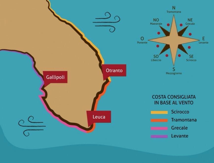
The tip of the heel, held between two seas and flat almost all the way across: olive groves, vineyards, almond and cherry trees, and a coast that changes character every few kilometres — rock and grottoes on the Adriatic side, shallow turquoise water and fine sand on the Ionian. Its capital, Lecce, holds forty baroque churches carved out of a soft golden local stone.
It is the area most people mean when they say they are going to Puglia, and the one this guide covers first. The Salento, area by area and town by town →
Taranto and the Ionian coast
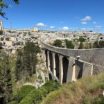
The last of the six, and the least visited by foreigners. The Ionian arc runs from the Murgia down to the north-western edge of the Salento and takes in the 24 towns of the province of Taranto — a coastline of terraces stepping down to the sea, cut through by the gravine, the deep ravines that give the area its other name, the bank of the gravine. Taranto itself is a Greek foundation with a museum of Magna Graecia gold; Grottaglie, a few kilometres inland, has been making ceramics for centuries and still does.
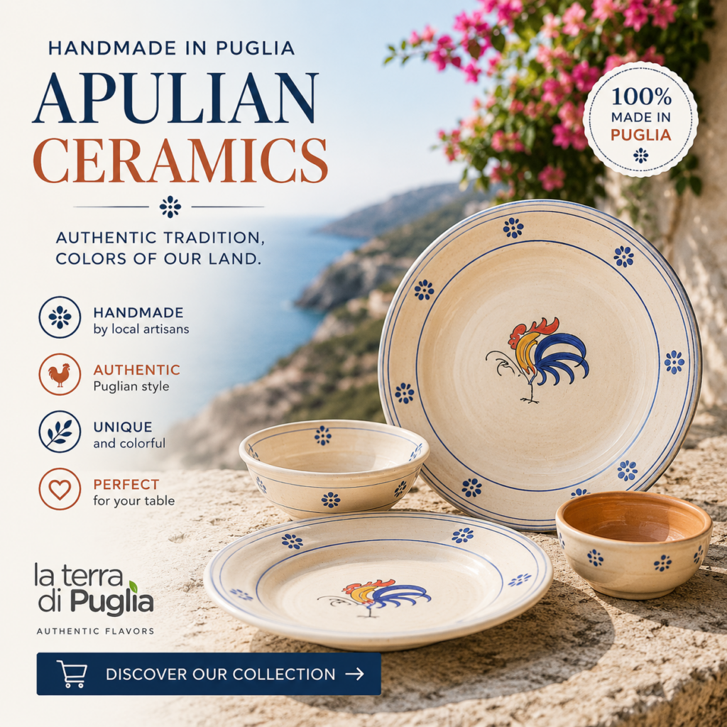
The trade, and the pumo that travels out of it, has a section of its own: Apulian ceramics.
The Ionian coast, town by town →
How long do you need? A week gets you two areas properly — say the Valle d’Itria and the Salento, or the Gargano and the Adriatic coast. Two weeks gets you four. Nobody has ever enjoyed doing all six in ten days, and the drive from Vieste to Leuca alone is the length of the region.
Once you have chosen the area
The six pages above answer where. Three more answer the questions that come next: what to see in Puglia, arranged by the kind of thing rather than by the town; where to stay, from masserie to trulli to a flat in a baroque old town; and itineraries, if you would rather follow one thread across the region than settle in one part of it.
Getting here, and getting around
There are two airports, Bari in the centre-north and Brindisi in the south, and which one you want depends entirely on which area you are heading for: Bari for the Gargano, the coast and the Murgia, Brindisi for the Valle d’Itria and the Salento. Trains run down the Adriatic side; almost everything else needs a car.
Before you go further. If you are still deciding what the region actually is — and why it has two names in English — start with Puglia or Apulia. For flights, ferries and driving times there is getting to Puglia, and to see how the pieces fit together, the map of Puglia.
And to time the trip rather than only place it: what happens across Puglia in August, and what happens in July — the two months when every square in the region is busy.