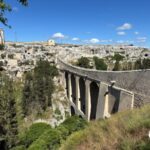
The Apulian Aqueduct Cycle Route follows the service road of the canal that has carried water into Puglia since 1915. Finished, it will run from Caposele, in Irpinia, to Santa Maria di Leuca — about 500 kilometres. Today more than two hundred of them are rideable white road, continuously from Spinazzola to Cisternino and on to Grottaglie. On this page: the nine stages with distances and climbing, what is open, the surface, and what is still missing.
A cycle route born from an aqueduct
At the start of the twentieth century Puglia was the thirstiest region in Italy. The answer was the largest hydraulic engineering project in Europe: a canal that takes water from the springs of the Sele, in Irpinia, bores through the Apennines and carries it to the heel of the boot. Building and then maintaining it needed a road running alongside for its whole length. That service road, closed to traffic, crosses half the south between farmland and stone — and it is the Apulian Aqueduct Cycle Route.
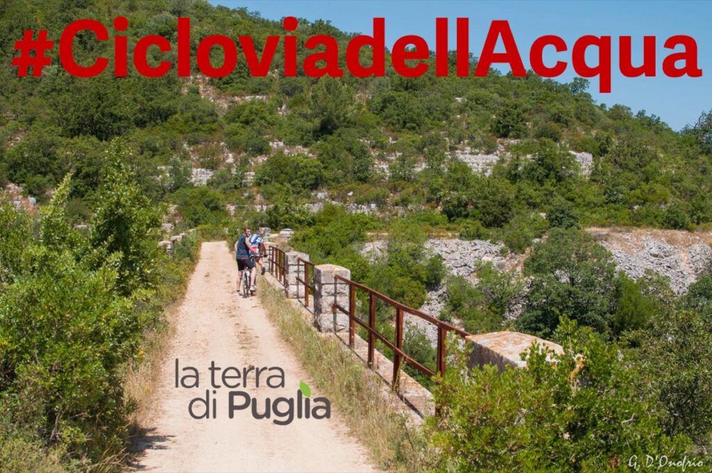
The full route runs from the springs at Caposele, in the province of Avellino, to the monumental waterfall at Santa Maria di Leuca, where the aqueduct ends its run. In the Italian national cycle network it is Bicitalia 11.
How long it really is, and why the figures differ
You will read different numbers, and it is not that anyone is wrong: they are counting different things. The regional government speaks of «almost 500 kilometres» from Caposele to Leuca — the official project. The committee that promotes the route maps around 520, because it includes the link roads that currently join the open sections together. Measuring their 2026 track gives exactly 523.5 kilometres.
The route’s website is not the water company’s. It says so itself: cicloviadellacquedotto.it is run by an independent committee of associations and citizens formed in 2015, and states that it has «no link with Acquedotto Pugliese SpA or with the regional governments», who are responsible for building it. It is the best source for tracks and maps, and it is also the reason this route exists at all: it started from the bottom up, and the institutions arrived afterwards.
What you can ride today
This is the part that matters, and it needs keeping separate from the funded kilometres. In July 2026 the Italian cycling magazine Bikeitalia rode the route and covered more than one hundred and eighty kilometres in four days, describing a rebuilt, continuous track from Spinazzola as far as Figazzano, in the territory of Cisternino, plus the thirty kilometres dropping down to Grottaglie. In total, «over two hundred kilometres of white road».
The surface on the rebuilt sections is unbound crushed stone: compact, fast, with what the same source calls «an ideal gravel feel». It has one drawback worth knowing about: it is very dusty, and riding in a group on a dry day you breathe all of it.
- Bike — gravel or mountain bike; a touring bike on wide tyres copes. Road tyres do not.
- Traffic — on the service sections, effectively none: it is the aqueduct’s road, not a public one.
- Shade — little. The Puglia rule applies in full: spring and autumn.
- Interruptions — some stretches remain closed because the right of way crosses private land. It is not continuous end to end.
The nine stages, with the climbing
The committee publishes the full track split into nine stages, and that allows us to say something no official press release says: how much you climb. Measured on the 2026 track, the whole route is 523.5 kilometres with about 5,000 metres of ascent, between 7 and 784 metres above sea level.
The profile of all 523 kilometres, with the nine stages marked. You can see at a glance where the work is: all of it in the first half, in the Apennines. From Castel del Monte south it is one long run down to the sea.
- 1. Caposele – Calitri — 45.2 km, +975 m. The hardest of the lot: you leave the springs and climb into the Apennines.
- 2. Calitri – Atella — 40.3 km, +882 m
- 3. Atella – Palazzo San Gervasio — 46.8 km, +773 m
- 4. Palazzo San Gervasio – Castel del Monte — 55.0 km, +678 m. Puglia starts here.
- 5. Castel del Monte – Cassano delle Murge — 64.4 km, +265 m
- 6. Cassano – Figazzano — 79.3 km, +615 m. The longest, and it crosses the Valle d’Itria.
- 7. Figazzano – Manduria — 71.0 km, +297 m. Dropping to the sea: 344 metres down to 71.
- 8. Manduria – Nardò — 51.1 km, +114 m. Effectively flat.
- 9. Nardò – Santa Maria di Leuca — 70.4 km, +398 m
The profile tells the story better than any description: the first four stages account for 3,300 metres of climbing on their own, the last five for a little over 1,600 across a greater distance. If you want the Apulian half without the Apennines, start at Palazzo San Gervasio or Castel del Monte.
Do not confuse two different ways of dividing the same route. The nine stages above are riding stages, each meant as a day on the bike. The four sections in the next paragraph — Spinazzola–Castel del Monte and the rest — are public works contracts, that is, how the region carved up the construction. They cover the same itinerary but do not line up, and adding them together produces sums that do not add up.
The four new sections
In January 2024 the regional government announced four new sections joining the existing route to the border with Basilicata. They cost €35 million, funded from regional money and the European recovery plan, and work started in 2024.
- Spinazzola – Castel del Monte — 35 km, €7.2m
- Castel del Monte – Bitonto — 31 km, €7.6m
- Bitonto – Gioia del Colle — 45.5 km, €11.3m
- Gioia del Colle – Cisternino — 57 km, €13.3m
Added to the existing sections, the regional announcement says that «in total, in 2026, the kilometres in Apulian territory will be 192». The 166 kilometres funded by the recovery plan had a delivery deadline of 30 June 2026.
On this point we will be honest: we do not know whether that deadline was met. The stated date was 30 June 2026, but we found no completion or opening announcement for the four sections. If you are planning a trip over those kilometres, check: an announced section is not an open one. What has been actually ridden and reported first-hand, in July 2026, is the stretch from Spinazzola to Cisternino.
What is still missing
Two big pieces. Upstream, the section from Caposele to Spinazzola, crossing Campania and Basilicata, is still at design stage. Downstream — and this is the one that matters most to visitors — the southern section from Grottaglie to Santa Maria di Leuca, 157 kilometres, is being designed. Until it exists the Salento is uncovered, which is why our page on cycling in Salento talks about roads and not about cycle routes.
Something less visible is missing too: a formal management and promotion scheme, meaning somebody responsible for signage, water points and up-to-date information along the whole route. At present much of that work is done by the volunteer committee.
The overall picture of the other areas is on the cycling in Puglia page.