In short. The Gargano is the spur of the Italian boot: a limestone promontory pushing 70 kilometres into the Adriatic, with more than 200 kilometres of coast, an ancient beech forest at its centre and two of the oldest pilgrimage sites in Europe on its hilltops. It is the one part of Puglia that has mountains, forest and sea in the same hour’s drive.
Most of Puglia is flat. The Gargano is not, and that single fact changes everything about it — the coast is cliffs and coves instead of long beaches, the interior is woodland instead of olive groves, and the towns sit high up looking down at the water.
Where it is, and what it is called
The promontory belongs to the province of Foggia, which has two older names you will still hear: Capitanata, from the Catapani, the officials of the Byzantine empire, and Daunia, from the people who lived in upper Apulia — the plain, the sub-Apennine hills and the promontory itself.
The coast
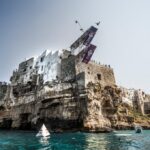
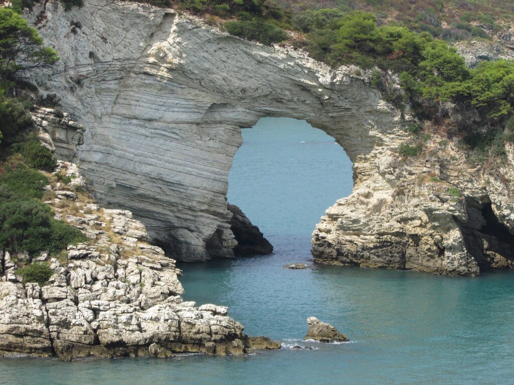
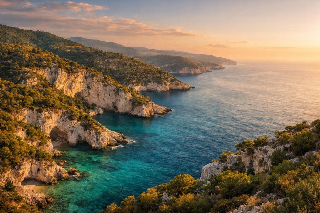
It changes as you go round. From Manfredonia up to Vieste the shoreline is rock, with cliffs falling into the water and small coves — many of them reachable only by boat. Between Mattinata and Rodi Garganico it turns sandy.
- Baia delle Zagare — the one with the sea stacks, and the most photographed bay on the promontory.
- Vignanotica, Pugnochiuso, Baia dei Campi — white pebble and rock, between Mattinata and Vieste.
- Baia di San Felice and the Scialara at Vieste — sand, and the two easiest days on this coast.
- Baia di Manaccore, San Menaio, Rodi Garganico — the northern, sandier end.
- The coastal lakes of Lesina and Varano — brackish lagoons at the top of the promontory, and ecosystems you will not find elsewhere in Puglia.
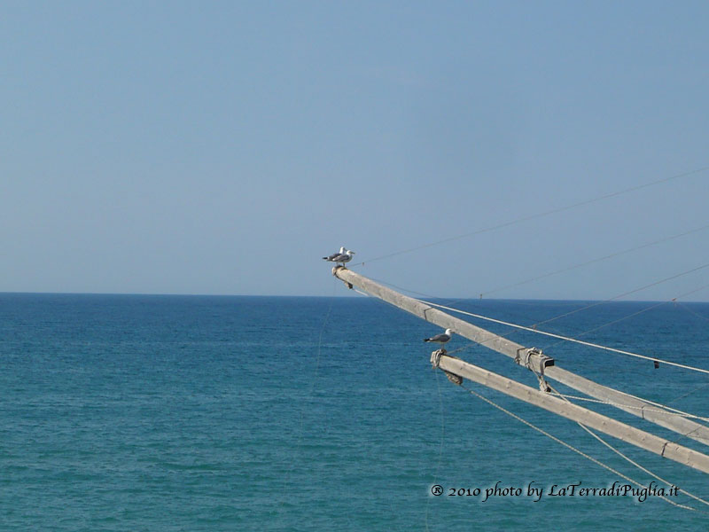
Along the whole coastline you will see trabucchi: timber fishing platforms on stilts, with long arms holding nets out over the water. They are centuries old, several are still working, and a few have become restaurants.
The five places to start with
- Vieste — the main resort town, with the best-known beach and the sea stack that is the symbol of the coast.
- Peschici — a Byzantine village of white houses above a bay, quieter and prettier.
- Monte Sant’Angelo — the highest town on the promontory, and the only comune in Italy with two UNESCO sites.
- San Giovanni Rotondo — where Padre Pio lived, and one of the most visited pilgrimage sites in Europe.
- The Tremiti islands — five islands twelve miles offshore, and the clearest water in the Adriatic.
Two more towns are worth the detour if you have the days: Manfredonia, for the churches of San Leonardo and Santa Maria di Siponto below the town, and Vico del Gargano, with its castle and its lanes.
The forest in the middle
The Foresta Umbra. At the centre of the Gargano National Park lies the largest broadleaf forest in Italy and one of the biggest in Europe: 10,500 hectares of beech, Turkey oak, oak, maple and holm oak, many of them monumental. The name comes from the shade — the canopy is dense enough that very little light gets through. Its ancient beech stands were added to the UNESCO list in 2017. In spring it is solid green; in autumn it turns ochre and red. There is a natural history museum at the Villaggio Umbra in the middle of it.
South of the promontory spreads the Tavoliere, the great plain where the flocks of the Abruzzo shepherds once came down to winter, and which Joachim Murat turned into an enormous granary. It is still the breadbasket of the region.
Two pilgrimages, fifteen centuries apart
The Gargano has been a destination far longer than it has been a holiday one. Monte Sant’Angelo has drawn pilgrims to the cave of the Archangel Michael since the fifth century; San Giovanni Rotondo has drawn them to Padre Pio since the twentieth. Between them they bring more visitors to this promontory than the beaches do.
The Gargano is one of the six areas of Puglia covered in this guide. To see how it sits against the rest, go back to where to go in Puglia.